Branson Inspiration
1 - 18 of 335 results
-
 Article
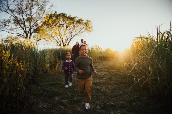
Branson Fall Festivals
As the balmy days of summer gradually give way to the crisp and cozy embrace of fall, there's a place where the spirit…
-
 Article
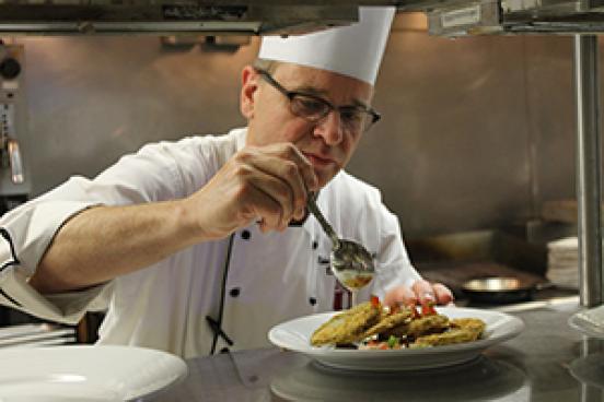
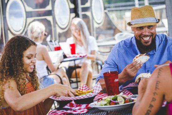
Dining at the Keeter Center
For a unique and memorable experience, plan to visit the Keeter Center at College of the Ozarks during your next…
-
 Article
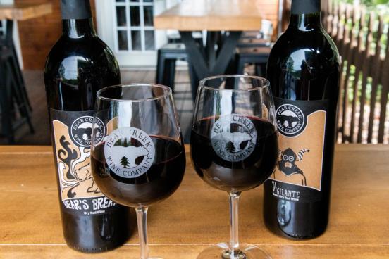
Savor Exceptional Winery Experiences in Branson
From winery tours and tastings to simply relaxing with friends, there’s a memorable experience waiting for you at one…
-
 Article
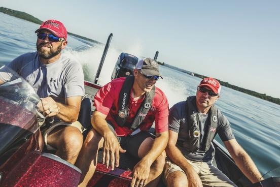
A Guys' Getaway in Branson
Golf, fishing and good grub are essentials for a great guys’ getaway. Fortunately, Branson offers all three in one of…
-
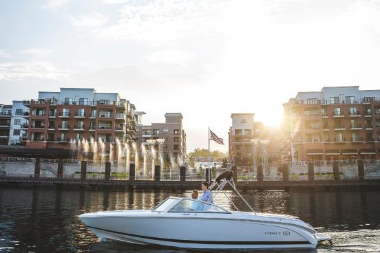
 Article
Father's Day in Branson
Father’s Day in Branson is full of boating, golfing, food, live shows, attractions, museums and fun. Find what would…
-
 Article
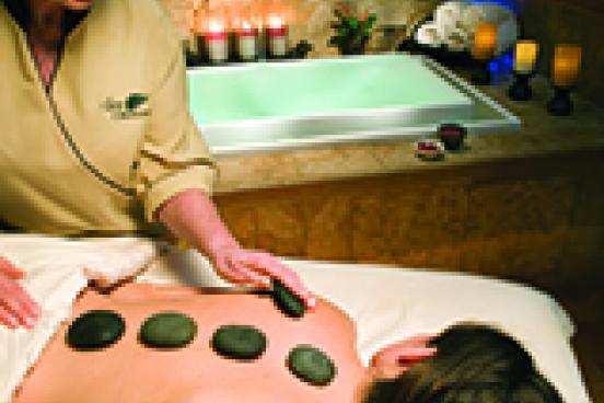
Pamper Yourself with Spas & Retreats in Branson
These luxurious spas & retreats will pamper and spoil you on your getaway to Branson. Unwind from the stress of the…
-
 Article
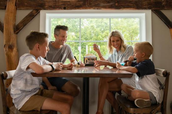
Branson: A Smile-Worthy Family Destination
In addition to our long list of live shows, Branson has theme parks, attractions, outdoor activities and welcoming…
-
 Article
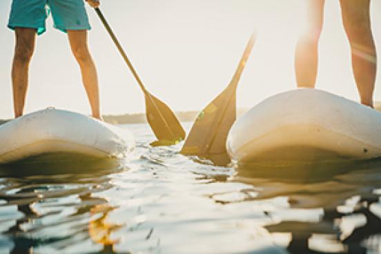
Paddleboarding in Branson
Stand-up paddleboarding (SUP) is the perfect outdoor adventure and method of transportation for exploring Branson’s…
-
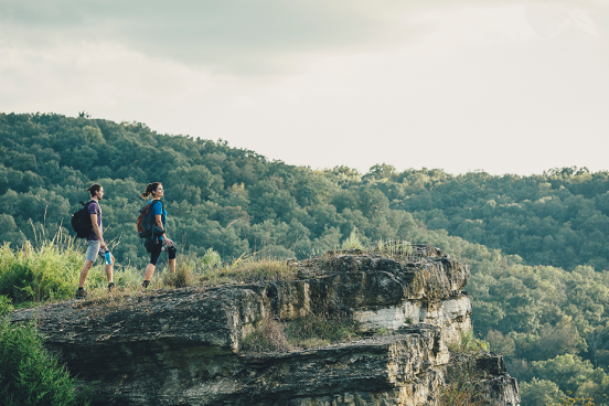 List
ListYour Guide to the Best Hiking in Branson
Grab your best hiking boots or your most comfy pair of tennis shoes — it’s time to explore the fantastic nature…
-
 Article
Unique Christmas Gift Ideas from Branson
From quaint shops along the historic downtown district to expansive outlet malls, Branson's shopping scene caters to…
-
 Article
Andy Williams' Mama's Rhubarb Shortcake Recipe
Andy Williams was a favorite performer around the world and right here in Branson. Bring one of Andy's most treasured…
-
 Article
25 Things We Love About Summer in Branson
What's there to love about spending your summer moments in Branson? We could think of hundreds of reasons to make…
-
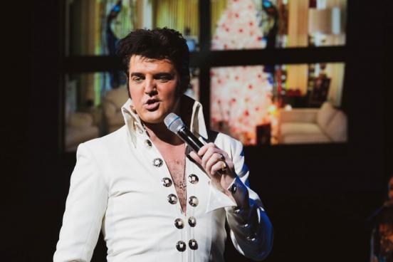 Article
Legends In Concert in Branson
More than your average tribute show, Legends in Concert brings the iconic sounds from this century's top performers…
-
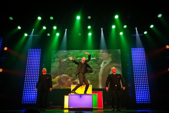 Article
Six Reasons to See SIX
SIX, dubbed an Orchestra of Human Voices, is a must-see on your next trip to Branson.
-
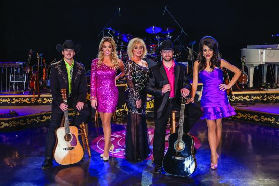 Article
Branson’s Famous Baldknobbers
Branson's Famous Baldknobbers is now celebrating over 60 years of performing in Branson! This spectacular country music…
-
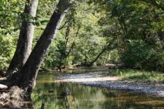
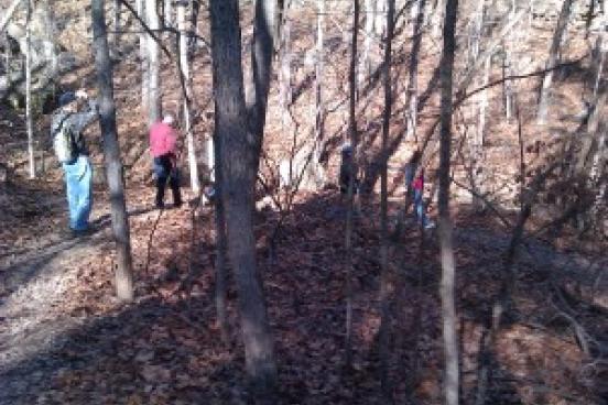 Article
Hike or Bike the White River Valley Trail System
Hikers and mountain bikers enjoy the challenging treks hidden inside the White River Valley Trail System.
-
 Article
Hiking at Busiek State Forest
The Branson Lakes Area is home some of the best trails in the Ozarks, and Busiek State Forest and Wildlife Area,…
-
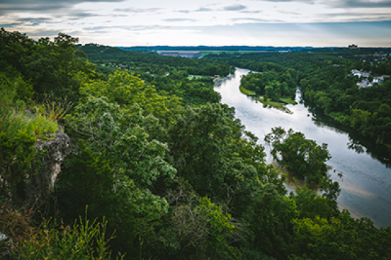 Article
Lakeside Wilderness Hiking Trail
One of the amazing things about Branson is that you can be near theaters, fine dining and attractions, and just a few…