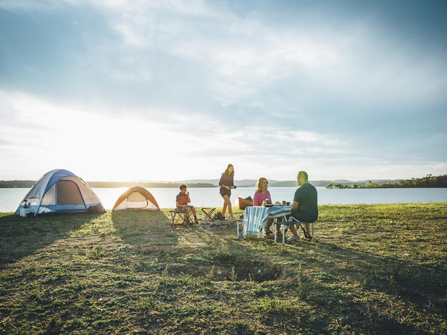
White River Valley Trail System
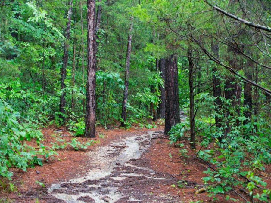
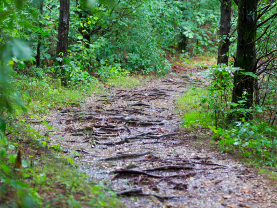
White River Valley Trail provides a challenging and enjoyable experience for hikers and mountain bikers in a rugged and scenic area of the state. The trail, built on land within Table Rock State Park and on U.S. Army Corps of Engineers land, mainly covers land that was used during the construction of Table Rock Dam on the White River in the late 1950s. Some parts of the trail are built on roads that were used for the construction of the dam. Scenic areas of the trail include small waterfalls, views of Table Rock and Taneycomo lakes, and an abandoned farmstead.
Red Loop
The Red Loop is the most technically challenging loop and contains a number of obstacles for the experienced cyclist.
Blue Loop
The Blue Loop is the longest loop and also the most diverse loop for nature.
Orange Loop
The Orange Loop is the shortest loop with an elevation difference of about 110 feet.
Green Loop
The Green Loop has the highest elevation point on the trail system at nearly 1,200 feet.
Details
On-site Activities
- Biking
- Hiking